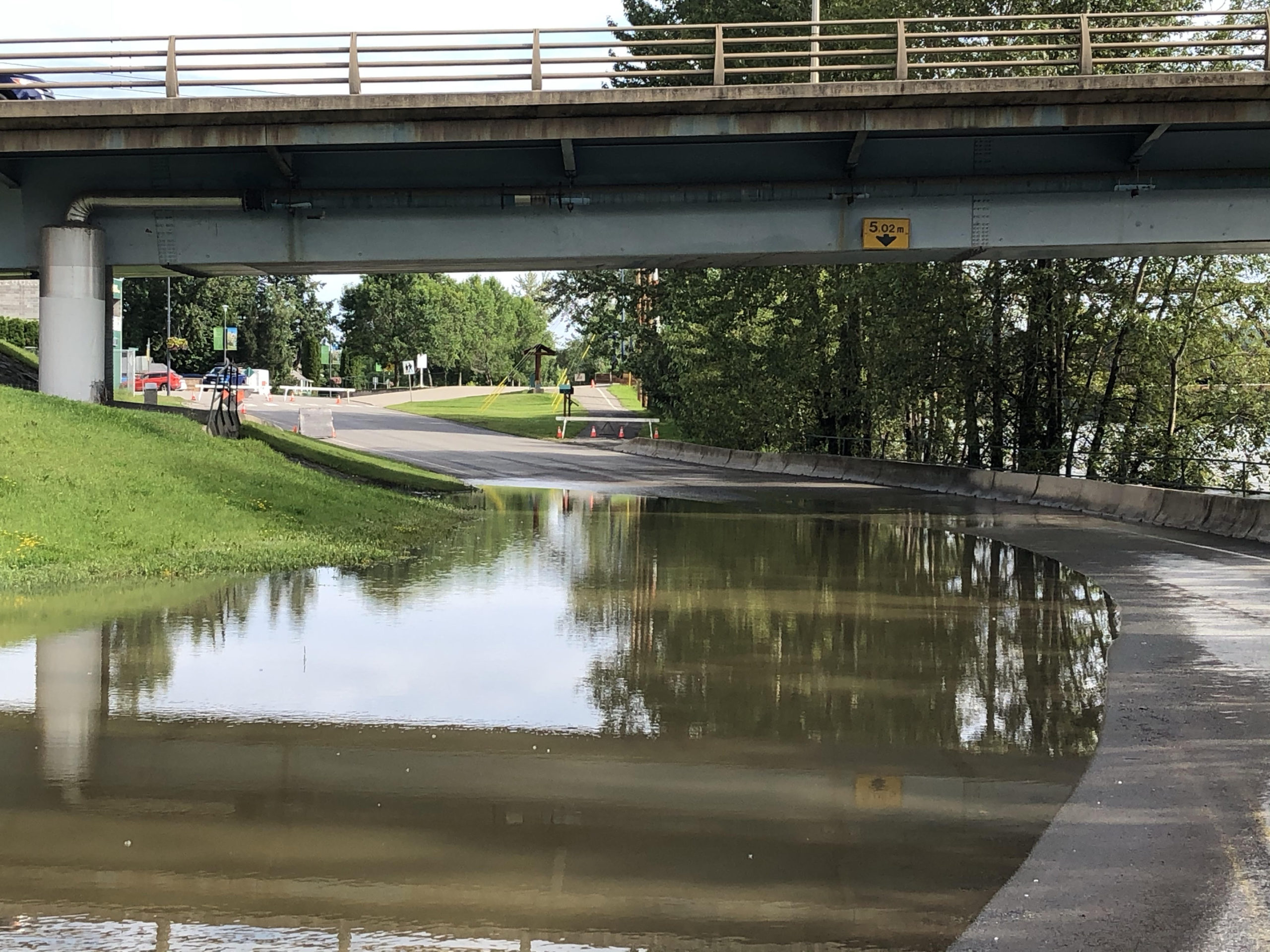
Snowpack levels in the Cariboo region are now above normal after a very wet February.
Jonathan Boyd is a Hydrologist with the BC River Forecast Centre.
“Cariboo, essentially upstream of Quesnel Lake and Quesnel River, it increased from 91 percent of normal for February 1st up to 111 percent of normal, but over in the Chilcotin it increased from 98 percent of normal on February 1st to 139 percent of normal.”
Boyd says that is still lower than last year when it was at 125 percent of normal in Quesnel and 163 percent in the Chilcotin on March 1st, but he says the snowpack could still go up.
“It’s a La Nina year which means that typically the spring weather conditions are a little bit cooler and sometimes a little wetter, so there could still be additional snow accumulation. The cooler temperatures last year was a hallmark La Nina where April ended up being really cool and so did the first half of May, but fortunately we didn’t get the extreme heat events.”
Boyd says any time we’re near normal, even slightly below normal, there is a risk for snowmelt related flooding in the Interior.
He says it always depends on the weather.
“If it rains for like two days or so and then there is a heat wave. It would be something that has to be warm enough for about 5 to 7 days of extended heat because it takes time to ramp up the snowmelt process.”
Something going on in the Cariboo you think people should know about?
Send us a news tip by emailing [email protected].


