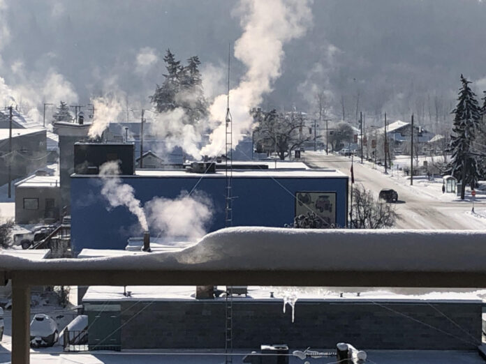
The flash of winter weather is looking to come to a close in the Cariboo region.
Environment Canada shows that today (January 20th) is expected to be one of the last days where parts of the Cariboo will see precipitation, but as we enter early next week, temperatures could shift into the positives.
Senior Meteorologist, Jonathan Bau says if we do continue to see snow, it won’t be the same as what we’ve been seeing the past few days.
“The current snowfall is forecast to end early afternoon, then as we settle into an unsettled pattern, there’s a continued chance of light snow over the next several days but nothing as big as we’ve seen in the last few days.” says Bau.
Bau added that the south Cariboo will have a risk of freezing rain early in the afternoon today, which he says could freeze on impact, causing ice to form.
He says this happens by precipitation passing through the warm air mass, causing it to melt, which it would then fall to the cold layer at the surface.
Next week, Bau noted that the Cariboo will see quite a bit of cloud cover, with a slight chance of flurries mid week, due to an unsettled pattern.
More information on current and future forecasts can be found on Environment Canada’s website here.
Something going on in the Cariboo you think people should know about?
Send us a news tip by emailing [email protected].


