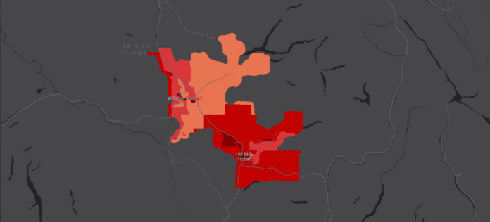
An innovative approach to exploring climate change has happened thanks to Interior Health’s new Community Health and Climate Change maps.
These maps will help municipal governments and partners in their planning by helping them understand climate-sensitive areas that could impact building or expansion projects.
“So these are maps that have been created to really represent community vulnerability to four very important hazards, and so those are extreme heat, flooding, wildfire smoke, and extreme cold.” says Dr. Sue Pollock, interim chief medical health officer with Interior Health.
Maps have also been made separately for each of the regional districts within Interior Health to help leaders understand the impact of climate change.
“These maps can inform emergency response planning, policy development, and climate adaptation action at the community level.”
“So really, the maps are intended to be used by communities in planning.”
The maps will also be used to deepen collaboration with Indigenous and non-Indigenous communities.
to learn more about the maps, you can visit the Interior Health’s webpage here.
Something going on in the Cariboo you think people should know about?
Send us a news tip by emailing [email protected].


