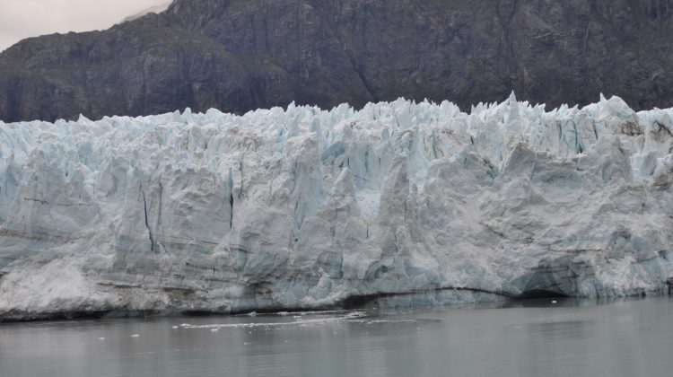
A UNBC PhD candidate’s research has created a way to automatically use satellite imagery to map out glaciers in BC and Alberta.
Alex Bevington said information that was made publicly available really helped in making this project come together.
“So one of the reasons we’re able to do work like this is because NASA and the United States Geological Survey make all of their satellite imagery free and available to the public. So anybody can kind of go and find these images and do this kind of work, which is commendable.”
Bevington said this computer program has allowed them to keep up to date with the glaciers, as this kind of mapping hasn’t been done since 2005.
He added they were able to pull images from between 1984 to 2020, and there were some interesting findings that came with this mapping.
“What we found is around 2010 or 2011 all of the glaciers that were already retreating accelerated in their retreat.”
Bevington said that there is a larger retreat of glaciers at play here, noting that most of Canada was covered with glaciers at one point, but said that the acceleration was the interesting part.
“There’s been quite a few studies that show that these are well linked to human activity and climate change.”
He said there are 14,000-17,000 glaciers in BC and Alberta.
Bevington added that some industries have also taken interest in these maps.
“Some of the people that are most interested in these maps are actually mineral exploration companies, because we have all sorts of new landscapes that are being exposed.”
Something going on in the Cariboo you think people should know about?
Send us a news tip by emailing [email protected].


