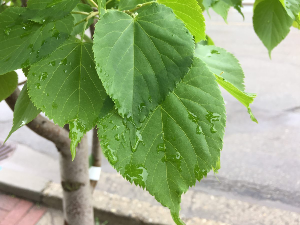
A series of upper lows moving through the Province has brought with it precipitation and cool air for the better part of June.
Environment Canada Meteorologist Bobby Sekhon explained how that has affected the Cariboo.
“It’s been quite cool this month and in terms of precipitation, there have been showers but keep in mind that June is the wettest month of the year on average in Williams Lake for example. So far this month we’ve seen about fifty to sixty percent of the normal precipitation that we usually have for the whole month of June in the Cariboo”.
With Summer to begin this Saturday, we asked Sekhon when will the temperatures in the region start to warm up.
“Tomorrow (Wednesday) a bit of a ridge of high pressure builds in and we start to see the sun, and temperatures starting to get closer to the average, into the mid-’20s by Thursday and Friday. However, that ridge of high pressure does not seem to last very long and we do get back into a trough pattern bringing showers on the weekend and cooler temperatures as well”.
Something going on in the Cariboo you think people should know about?
Send us a news tip by emailing [email protected].


