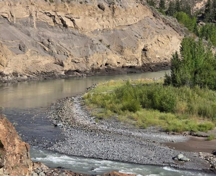
Cariboo Regional District Communications Manager Gerald Pinchbeck said the Ministry of Emergency Management and Climate Readiness has been providing funding under the Emergency Management Framework to the province to fund Indigenous Governments to stage Information Officers in that area.
“They were there to just help educate the public about the ongoing risk from the Chilcotin River Landslide that occurred over the Summer. That funding has expired and those community information officers are now being pulled off those sites.”
Pinchbeck said what the CRD wants to do is communicate to the public the continuing and ongoing risk presented by possible landslides in the Chilcotin River Area and especially in the Farwell Canyon Area by the bridge.
In a release from the Cariboo Regional District it stated a highly visible fault line on the riverbank south of Farwell Canyon Bridge is of immediate concern and the area below it is not safe for public access.
It goes on to say while the primary concern remains the area near that bridge due to the high level of public access and the presence of Indigenous fishing sites, other areas along the Chilcotin River may also pose significant hazards to public safety.
Due to continued uncertainty about land slope stability following the release of water on August fifth from the landslide debris dam, crown lands along the riverbed and riverbanks of the Chilcotin River are subject to a Crown Land Closure issued on September 18 and remains in place until January 25, 2025 but may be extended.
This area extends from South of Dante’s Inerno Park to Confluence with the Fraser River.
At this time Farwell Canyon Road remains open to the public and is not subject to the Crown Land Closure.
Something going on in the Cariboo you think people should know about?
Send us a news tip by emailing [email protected].


