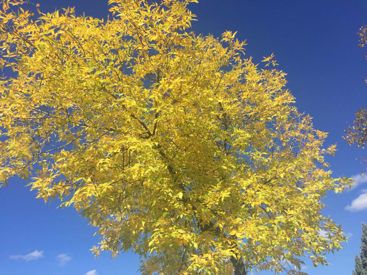
Fall officially started Sunday (September 22) morning at 8:44 in the Cariboo.
Looking at the short range forecast, Warning Preparedness Meteorologist for Environment Canada, Lisa Erven said the region has an interesting week ahead.
Tomorrow’s (Tuesday) temperature will be slightly above normal before it shifts back down Wednesday a few degrees below seasonal with highs in the lower to mid teens.
Erven noted that Fall can encompass just about any kind of weather from warm spells to temperatures plummeting, even the first flakes falling at some point over the next couple of months and had this to say looking at Environment Canada’s seasonal model.
“The October/November time period is generally trending towards a very weak signal for continued above normal temperatures. When I say a weak signal we’re really looking at a 40 or 50 percent chance of seeing temperatures for those entire months averaging out to being above normal.”
For the December, January, and February time period, Erven said the weather starts to shift to cooler than normal conditions as they are expecting a weak and short duration La Nina.
“Right now we are under a La Nina Watch. The conditions in the parts of the Pacific Ocean that we monitor to determine what phase we’re in shows neutral conditions right now. We are expecting over the next couple of months to transitioning into a La Nina phase. Even though it’s expected to be weak, we’re going to have to follow the weather patterns on a week to week basis to see just what is in store for us.”
Erven said no two La Nina’s are ever the same even when you compare strong ones to weak ones you get all flavors with each severity.
“Even though we have this La Nina Watch in place right now what determines the temperature trends, and what kind of precipitation we get and how much, that will boil down to the weather pattern of the week.”
Something going on in the Cariboo you think people should know about?
Send us a news tip by emailing [email protected].


